Embracing UAVs and Laser Scanning... The New Standard in Surveying and Planning

Monday 21 July 2025
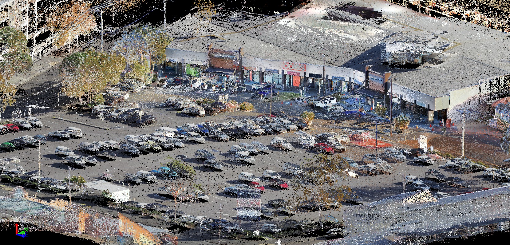
In today’s fast-paced construction and infrastructure landscape and increasingly complex site constraints, the ability to capture large volumes of accurate data quickly is a necessity for effective planning, design and compliance. At Parker Scanlon, we are embracing emerging technologies and tools including UAV’s and Terrestrial Laser Scanners to transform how surveyors, engineers, town planners, architects’ and client’s analysis site data and plan detailed designs.
These technologies allow us to:
- Capture site conditions with incredible speed and accuracy - Reduce time spent on-site - Enhance safety by accessing hard-to-reach areas remotely - Deliver highly detailed 3D models for design and planning
We are currently undertaking several exciting projects where aerial photogrammetry and laser scanning are playing a central role in capturing real-world conditions and turning them into actionable insights.
Interested in how these tools can benefit your next project? Let’s connect!
Back to News