The Value of Laser Scanning

Wednesday 10 September 2025
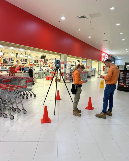
Our survey team recently completed a high-precision laser scanning project at Belmont City Centre, supporting key urban planning initiatives in the Newcastle region. This project involved a comprehensive workflow that began with detailed field data collection and concluded with the delivery of refined spatial outputs tailored for planning and design applications.
The fieldwork phase included terrestrial laser scanning of the city centre and adjacent car park, complemented by drone surveys to capture aerial detail. Our team coordinated travel, equipment setup, and on-site support to ensure efficient and accurate data acquisition. Once back in the office, we undertook extensive data processing, including the reduction and quality assurance of point cloud datasets, extraction of additional site detail, and integration of line markings. Ground Control Points (GCPs) were exported to support geospatial accuracy, and technical challenges, such as software compatibility issues, were resolved through collaborative troubleshooting.
Using the processed data, we developed detailed site plans that incorporated updated contours, drainage infrastructure, boundary definitions, and photographic overlays. Site levels were confirmed and amended as needed, and final plans were reviewed internally and with the client to ensure all specifications were met. The project also included coordination of digital deliverables via OneDrive, scanner hire logistics, and completion of administrative tasks such as invoicing.
The successful delivery of this project highlights the value of laser scanning in producing high-resolution, detail-rich spatial data. It also reflects the technical capability and dedication of our survey team in managing complex geospatial workflows from field to final output.
Back to News